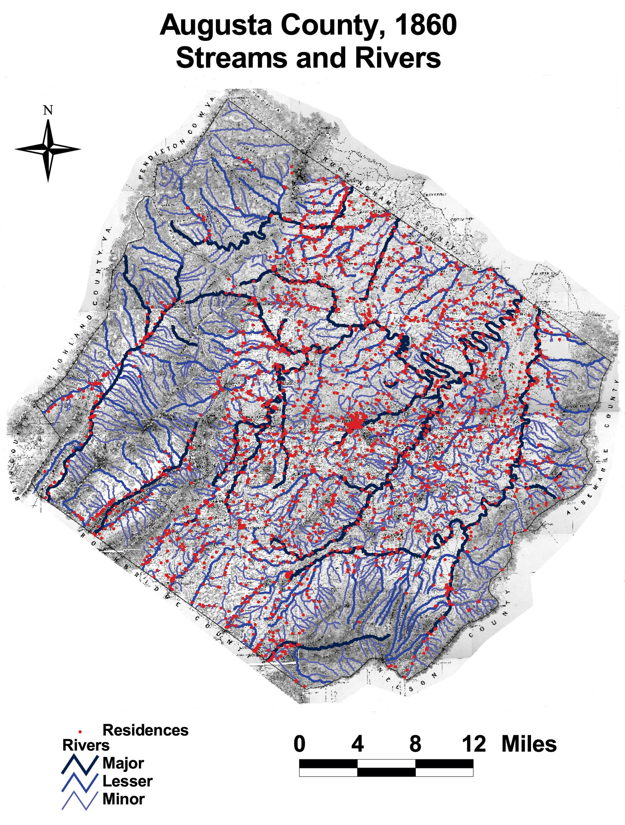
Augusta County: Streams and Rivers
This map of Augusta County shows the hydrology of the county. Thousands of miles of streams and rivers coursed through the county and residents settled close to these water sources.
Click on the map for a larger image.
The map is derived from a Jedediah Hotchkiss map of Augusta County, published in 1870 and based on surveys completed "during the war." The Hotchkiss map has been georeferenced at the Virginia Center for Digital History, using ESRI Arc Info to produce a Geographic Information Systems map and database of households.